The tropical Pacific Ocean is shifting toward El Niño, with climate agencies placing the probability of a full event above 80 percent by autumn and warning that some forecast models point to potentially record-setting intensity.
The World Meteorological Organization issued a statement on April 24 confirming that climate models are "strongly aligned" and that there is "high confidence in the onset of El Niño, followed by further intensification in the months that follow." NOAA's Climate Prediction Center raised its official forecast on May 14, assigning an 82 percent chance that El Niño will emerge between May and July, and a 96 percent chance it will persist through the December 2026 to February 2027 winter.
The developing event follows a La Niña phase that has dominated since roughly August 2025 and contributed to drought across the southern United States from Arizona to Florida. The transition marks the latest swing in the El Niño-Southern Oscillation cycle, a recurring climate pattern that reshapes global weather every two to seven years.
How the mechanism works
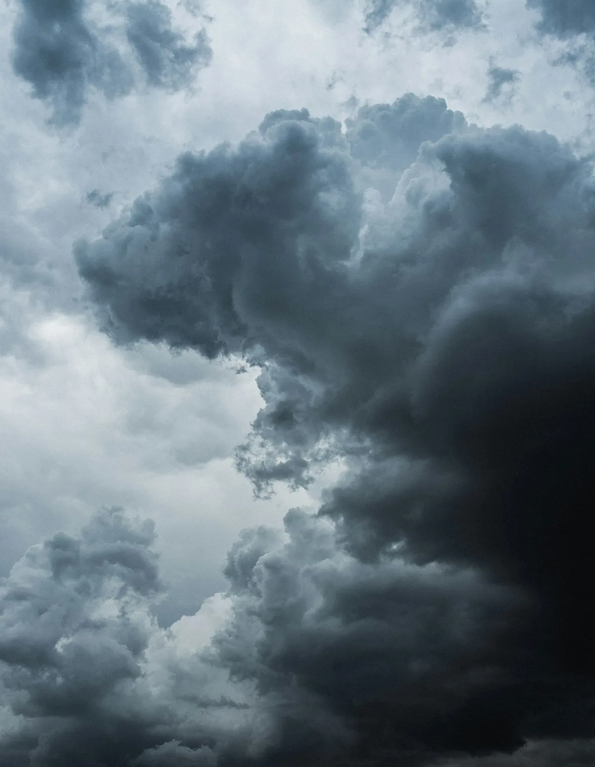
In a typical year, easterly trade winds drag warm surface water westward across the tropical Pacific, allowing cold water to rise from the depths along the coast of South America. This upwelling keeps the eastern Pacific cooler than the western Pacific, where warm water pools near Indonesia and fuels thunderstorm activity.
During El Niño, the trade winds weaken. Upwelling slows. Warm water that has accumulated in the western Pacific sloshes eastward along the equator, raising sea surface temperatures across the central and eastern Pacific by one to three degrees Celsius above average. If the atmosphere responds to this warming, rising air follows the warmer water eastward, further weakening the trade winds and amplifying the temperature anomaly in a self-reinforcing feedback loop.
That feedback loop is what forecasters are watching now. Subsurface temperature measurements from early March showed increasingly warmer-than-normal water building beneath the surface across much of the Pacific basin, consistent with the early stages of El Niño development. An unusually strong westerly wind burst in early April, one of the most intense in several decades, pushed additional warm water onto the equator and drove it eastward.
Paul Roundy, an El Niño expert at the University of Albany, wrote on May 6 that "confidence is clearly shifting higher on potentially the biggest El Niño event since the 1870s." The European Centre for Medium-Range Weather Forecasting ensemble model suggests the event could peak at 2.5 degrees Celsius above average by autumn, a threshold that would place it among the most intense on record. Only five such "super El Niño" events have occurred since 1950, the most recent in 2015-16.
What the forecasts show
Forecasters caution that spring is the most uncertain season for ENSO predictions. The "spring predictability barrier" means sea surface temperature patterns are in transition, and model accuracy improves after April. About 80 percent of forecast models now cross the El Niño threshold by early autumn, while just under 20 percent remain in ENSO-neutral conditions. A small minority suggest a weak La Niña could return.
NOAA recently adopted a new monitoring tool, the Relative Oceanic Niño Index, to complement the traditional Oceanic Niño Index. The RONI measures ENSO events differently and, in testing, identified the 2023-2024 El Niño as slightly weaker than the traditional index suggested. It also classified the 2024-2025 and 2025-2026 winters as definitive La Niñas rather than neutral, aligning better with observed drought impacts across the southern United States.
Wilfran Moufouma Okia, chief of climate prediction at WMO, noted that while models indicate a strong event, "the so-called spring predictability barrier is a challenge for the certainty of forecasts at this time of year."
Global effects to expect
El Niño does not create uniform weather worldwide. It shifts where and how weather hazards occur, with impacts that vary by region and season.
In North America, a stronger Pacific jet stream typically brings wetter conditions to the southern tier of the United States from California through the Southeast during winter. The Pacific Northwest and northern Rockies tend toward drier, milder conditions. The southern Ohio River Valley, which saw unusually dry conditions during the recent La Niña, may see a return to wetter patterns.
Across the tropics, El Niño generally suppresses the Asian monsoon, reducing rainfall over India, Indonesia, the Philippines, and parts of Southeast Asia. Eastern Australia typically becomes drier and warmer, increasing drought and wildfire risk. Parts of southern South America, the Horn of Africa, and central Asia tend toward wetter conditions.
The event also reshapes hurricane seasons. Warmer water in the eastern and central Pacific provides additional energy for tropical cyclones there, while increased wind shear over the Atlantic tends to suppress storm development. The 2023 Atlantic hurricane season demonstrated that suppression is not guaranteed, as several storms still reached damaging intensity despite El Niño conditions.
Globally, El Niño releases stored ocean heat into the atmosphere. The 2015-16 super El Niño drove global temperatures to then-record levels. With 2024 already ranking among the warmest years on record, a strong event in 2026-27 would likely push temperatures higher still. A December 2025 study found that super El Niño events can trigger sudden "climate regime shifts" in temperature and precipitation patterns, an effect that may be increasing as the baseline climate warms.
What comes next
Climate agencies will issue updated forecasts on the second Thursday of each month. The next critical window runs through June, when forecasters will assess whether the atmospheric feedback loop has fully established itself. If it has, the event will likely intensify through autumn and peak during the Northern Hemisphere winter.
WMO emphasizes that while there is no evidence climate change increases the frequency or intensity of El Niño events, a warmer ocean and atmosphere amplify the associated impacts. More energy and moisture are available for extreme weather, meaning that heatwaves, heavy rainfall, and drought during this event may be more severe than during comparable historical episodes.
For now, the Pacific is warming, the trade winds are slackening, and the models are converging on a single story. Whether that story unfolds as a moderate event or a record-breaking one will become clearer by midsummer.